
“The Community’s Vision for Cape Peron” (also known as Point Peron) was launched on 14 March 2012. It is based upon the vision expressed by the community over several decades, including the 1964 Commonwealth / State Agreement and the Rockingham Lakes Regional Park Management Plan.
In 1964 the land at Point (Cape) Peron was transferred from the Commonwealth to the State, subject to agreement that its future use would be “RESTRICTED TO A RESERVE FOR RECREATION AND / OR PARK LANDS”
In 1968 the Commonwealth confirmed that the land must NOT be used “For Private Industrial, Commercial or Residential Development”.
Note that in November 2011 the Commonwealth confirmed it expects the WA Government to “Honour the undertakings previously given” in relation to the land at Cape Peron.
In 2000 much of the land at Cape Peron was classified “BUSH FOREVER” by the WA Government.
From 1964 to 2012 the people of Western Australia have been waiting for the 1964 vision to be realised, including making Cape Peron an “A” Class Reserve.
CURRENT STATUS OF THE LAND
- The land is held in trust for the benefit of the public.
- Most of the land is in the Rockingham Lakes Regional Park, Established in 1997 and managed by the Department of Environment and Conservation (DEC).
DEC’S 2010 Rockingham Lakes Management Plan highlights the outstanding conservation and recreational values of Cape Peron and sets out a plan for its sustainable management as part of the Rockingham Lakes Regional Park.
- The implementation of the DEC Management Plan is being hindered by a proposal to bulldoze about 40 hectares of public bushland and destroy existing accommodation, boating and fishing facilities in order to construct an inland Marina and Canal subdivision.
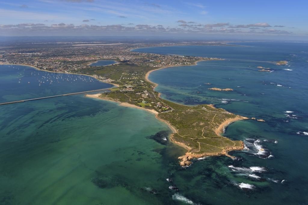
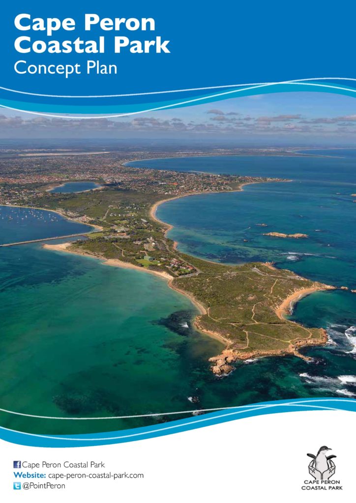
View the Cape Peron Coastal Park Concept Plan
Download the Concept Plan (PDF version): Cape Peron Magazine
Why a Coastal Park instead of Canals?
Download the important reasons why (PDF version): Point Peron Issues